
Named for the indigenous people who once inhabited northern New Jersey, the 36-mile Lenape Trail links 18 parks and 11 municipalities as it carves its way in a horseshoe shape through Essex County.
The trail—which follows dirt or gravel paths and paved walkways—reveals an Essex County that’s more than urban downtowns and leafy suburban enclaves. At its eastern end, the trail passes through beautifully manicured parks, often along effervescent rivers and brooks. After turning west, it rises up and over two parallel thickly wooded ridges, First Watchung Mountain and Second Watchung Mountain.
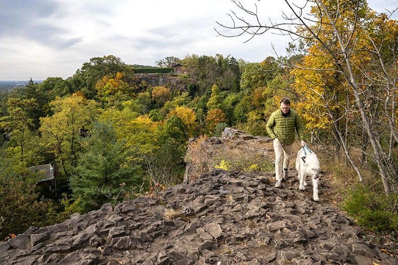
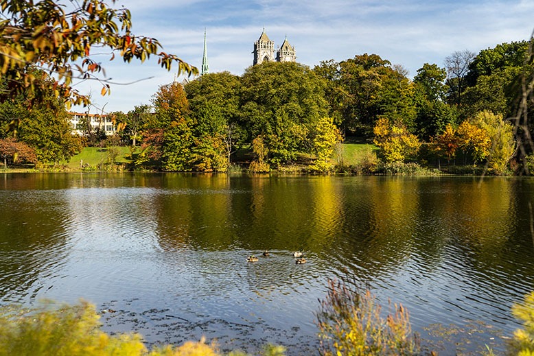
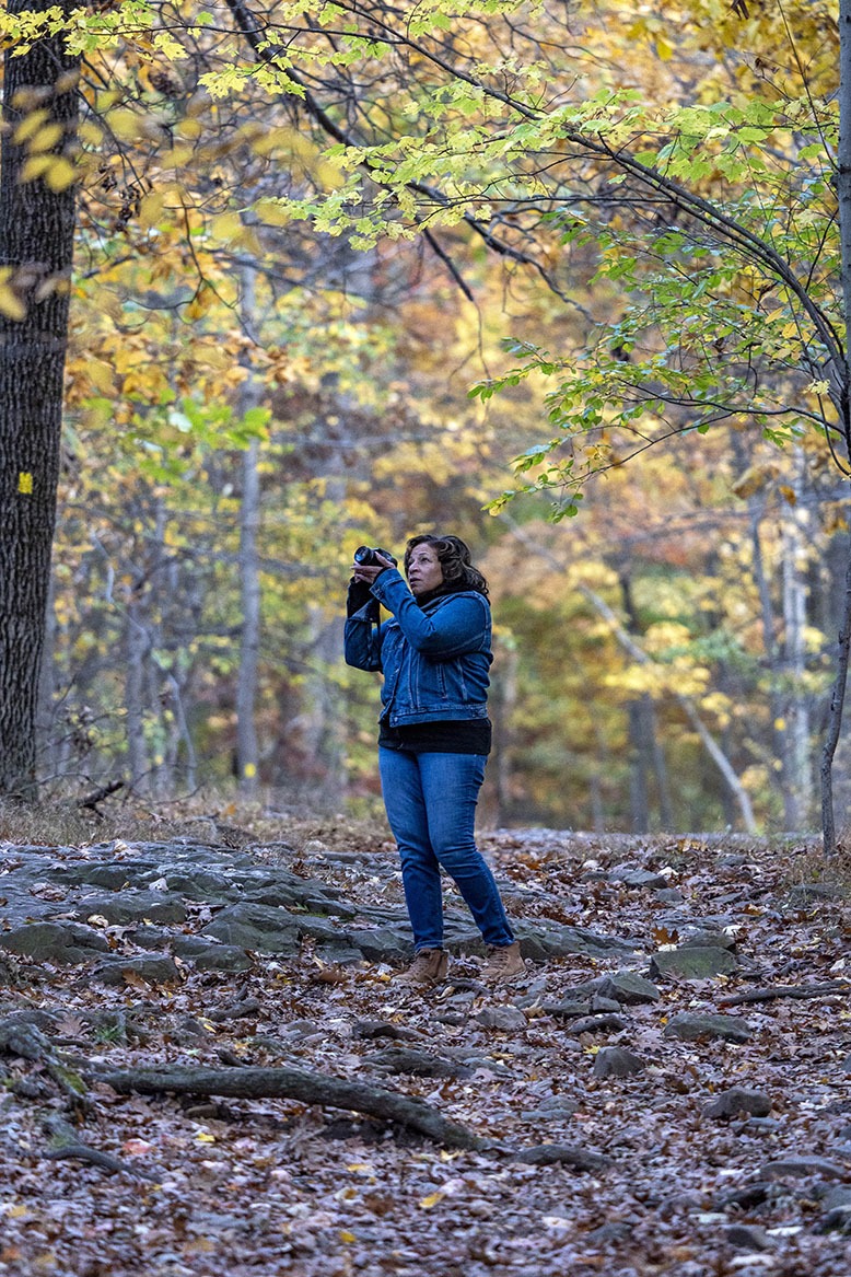
In the fall, the leaf-peeping seems to get better with every step, especially atop the Watchung Mountain ridges. First Mountain in particular provides incomparable, foliage-framed views of Manhattan to the east.
[RELATED: Leaf-Peeping Reaches New Heights in High Point State Park]
This being a suburban trail, it occasionally requires long walks through local neighborhoods, often on busy streets. For my trail walk, I broke the hike into five segments that stayed almost exclusively in park or forested areas, while skipping most of the stretches on local streets. The longest segment is 7 miles one way.
Throughout its length, the trail is marked with yellow blazes (rectangular patches) on trees and posts. These painted markings and the trail itself are maintained by volunteers from the New York-New Jersey Trail Conference, in partnership with local park conservancies (such as the Hilltop Conservancy and the South Mountain Conservancy) and the Essex County Park System.
For any segment of the trail, make sure to carry sufficient water, and consider downloading the free Avenza app, which helps keep you on track. Additionally, a trail guide (with map) is available to download free at nynjtc.org. It’s always smart to walk with a friend. Pro tip: Head out with two cars and park one at the end of that day’s segment, turning each segment into a one-way hike. In the forested areas, expect to cover about two to three miles in an hour, with plenty of refreshment breaks.
[RELATED: The Best Fall Day Trips in New Jersey]
Branch Brook Park to Yanticaw Park
Branch Brook Park’s seasonal foliage is spectacular. Photo: Ron Wyatt
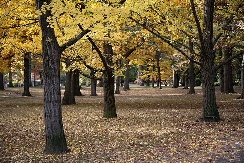
Our hike starts at Branch Brook Park, the nation’s first county park, esteemed for its nearly 100-year-old collection of cherry trees. You won’t see their fabulous pink blossoms in the fall, but there will be plenty of seasonal foliage to admire.
Enter the park by car at the Clifton Avenue entrance, just south of Newark’s magnificent Cathedral Basilica of the Sacred Heart (89 Ridge Street). Drive across the overpass and park along the road, with Branch Brook Lake to your right. You begin the hike with a dramatic view of the cathedral across the lake.
The paved path follows the lake north through the park, a popular urban oasis for walkers, joggers and cyclists. Use the crosswalk over Heller Parkway; after 3 miles, you’ll reach the Cherry Blossom Welcome Center. Past the welcome center, the trail turns left into a wooded, secluded section. You can avoid this diversion by following several paths up the hill and to the left, toward Belleville Park.
So far, you’ve gone about 4.5 miles, mostly on flat, paved ground. You can end this segment here or continue onto Belleville Avenue. From here, the trail goes through local streets for about 2 miles (map or app essential) before reaching Booth Park at Harrison Street in Nutley. As you enter, there’s a park house with clean restrooms.
The trail proceeds for another mile through Booth Park and Yanticaw Park, a swathe of green along the tree-lined Third River. This leg of the walk ends at Chestnut Street in downtown Nutley. You’ve walked an easy 7 miles from the Branch Brook entrance. (The trail continues on local streets for almost 3 miles through Nutley and Bloomfield, including a footbridge over the Garden State Parkway, all the way to Brookdale Park.)
Brookdale Park to Mills Reservation
Brookdale Park Photo: Laura Baer
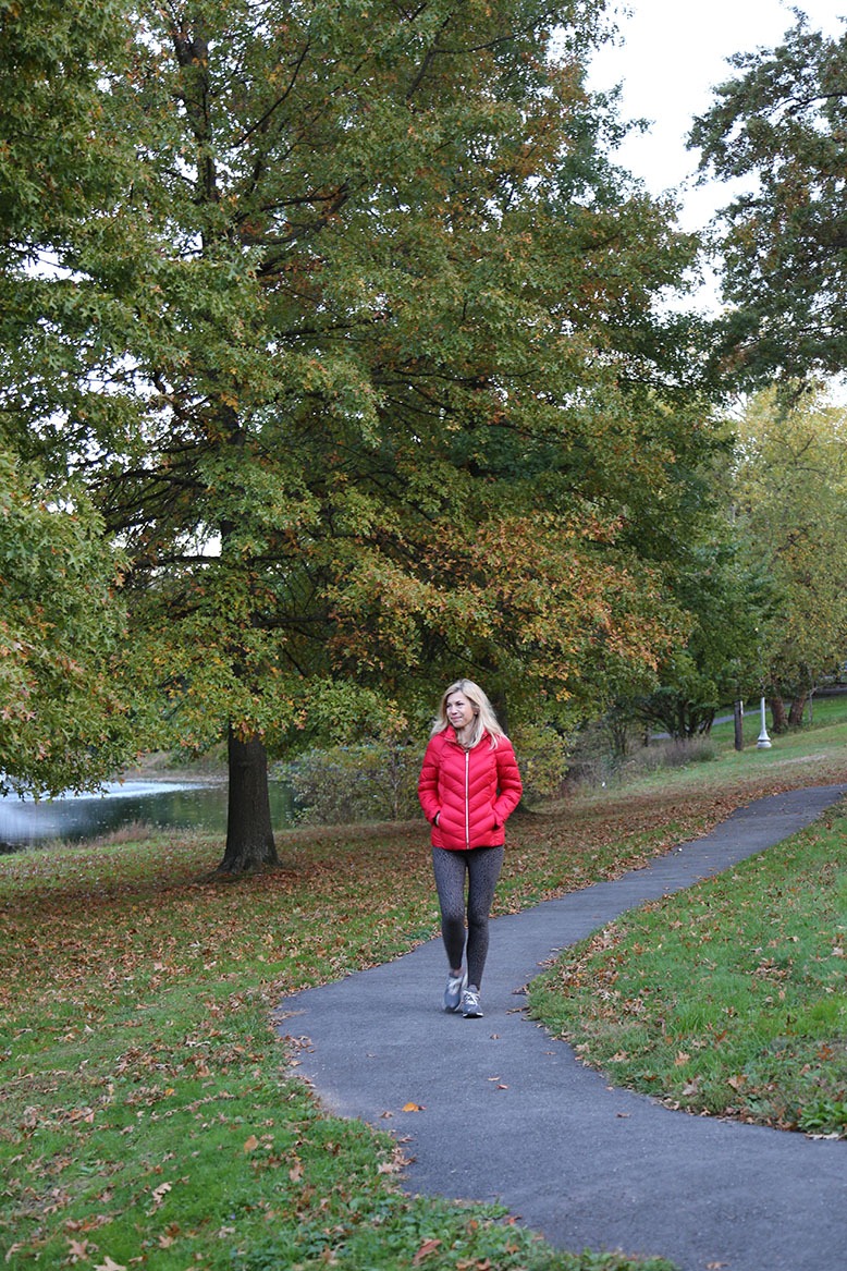
Enter Brookdale Park at Watchung Avenue, just west of Broad Street in Bloomfield. Once in the park, you can deposit your car along the roadway or in the lot halfway up the park’s eastern edge. Look back and find the trailhead—it’s well marked—at the southern end of the park. Follow the paved trail up the hill into the woodsy stretch along the park’s west side. Along the way, you’ll pass numerous fitness stations, where you can add a workout to your walk if you’re so inclined. You’ll also pass the county dog park and the hilltop rose garden, which still sports plenty of color in the fall.
The trail curves down toward the archery field (top archers from all over practice here), then turns left at the archery house, exiting the park. Cross Bellevue Avenue and turn left and then right onto Glenside Terrace. It’s about a one-block walk to the entrance of Montclair’s Yantacaw Brook Park, with its rolling lawns and pretty little pond.
Yantacaw Brook Park Photo: Laura Baer
Exiting the park at Club Road, continue straight on Yantacaw Brook Road to Alexander Avenue. It’s about a 1.5-mile walk on local streets to Presby Memorial Iris Gardens. (The irises bloom in late spring, typically around Memorial Day weekend.)
If you turn back here, you’ve covered about 3.5 miles. To continue into Mills Reservation, walk up the hill behind the Iris Gardens and turn left on Highland Avenue (you can park here, too). Turn right on Windsor Place, walk up the steep hill, and turn right at Warfield, which dead-ends at the Mills entrance.
Quarry Point, Mills Reservation Photo: Ron Wyatt
Throughout Mills, the trail is dirt and gravel. Follow the yellow blazes up to the Quarry Point lookout, which offers a dramatic view over Montclair and beyond. You can now say you’ve scaled First Watchung Mountain. Leaving Quarry Point, follow the yellow blazes another mile to the Normal Avenue parking lot, which marks the end of this leg of the hike. You’ve covered 5 miles. (If you’re walking with a friend, you can leave a second car in the Normal Avenue lot to avoid doubling back.)

Cedar Grove Park to Hilltop Reservation
From Normal Avenue, it’s a 4-mile walk around Cedar Grove Reservoir and on local streets (plus a short section of the West Essex rail trail) to reach Cedar Grove Park. Instead, we’re starting this leg of the walk by parking at Cedar Grove’s Robert J. O’Toole Community Center (199 Fairview Avenue). The park entrance is across the street. This section of the trail is only about 2 miles, but it includes a strenuous ascent to the top of Second Watchung Mountain (elevation 675 feet).
Once you enter Cedar Grove Park, the yellow blazes direct you to the right, over a footbridge and then in an arc to the left around the northern edge of the park. As the paved path straightens, watch for the yellow blaze directing you into the woods to the right. The trail here is not easy to discern. Head uphill, then swing to the right and up to the left until you spot a yellow blaze toward the top of the hill. Next, two right turns deliver you to a paved section of the trail. Now, watch for a quick turn to the left onto a narrow, wood-chipped path.
The narrow path leads you to one of the highlights of the trail: an open grassland meadow sprawling across a plateau atop the ridge. The evergreens bordering the meadow suggest Colorado—but no, we’re still in Essex County. Waves of tall grass, milkweed and all manner of wildflowers make this a sanctuary for bees and butterflies. A slice of local history hides here, too. Although it has returned to its natural state, the meadow was once the site of the Essex Mountain Sanatorium, where tuberculosis patients were housed for much of the last century. A water tower at the edge of the meadow hints that civilization is nearby.
Leaving the meadow, watch for a left turn back onto a wood-chip path leading into thick woods. There are two unmarked forks ahead; turn right at the first, left at the second. The trail gets rocky here as it tunnels beneath the overhanging branches and heads uphill. The trail curves left and reveals the edge of a neighboring town house development, then swings back into the woods and down a winding path. Finally, you emerge on an open ridge with a panoramic view of First Watchung Mountain to the east.
From here, the path heads downhill, ending at a football complex. You can turn back here or continue down the rocky trail to the left until you reach the Verona Community Center (880 Bloomfield Avenue). This is a good place to deposit a car if you are hiking with others and prefer a one-way hike. If you want to continue to the next section, turn left on Bloomfield Avenue and walk a half-mile downhill to Verona Park.
Verona Park to Eagle Rock Reservation
Verona Park Photo: Ron Wyatt
Enter Verona Park at the corner of Bloomfield and Lakeside avenues. There’s plenty of street parking on Lakeside. Walk on the paved path along the western edge of this popular neighborhood park. Loop around Verona Lake past the boathouse until you reach the Children’s Garden. Here, the trail heads out of the park toward Manor Road and Sunset Avenue. Follow Sunset across Propect Avenue to Glen Road and uphill to Gordon Place.
Just south of the intersection of Gordon Place and Afterglow Avenue, you’ll see the northern entrance to Eagle Rock Reservation. You’ve walked a bit more than 2 miles. Alternatively, you can park on Afterglow and start this segment of the hike at the reservation entrance.
The Eagle Rock section of the trail is unpaved and, at points, rugged and rocky. The trail rises steeply to the North Lookout—where you get a great view of Manhattan through the foliage—before flattening out along the ridge.
After a little more than a mile, you emerge at the Highlawn, the elegant restaurant pavilion in the southeast corner of Eagle Rock. Follow the cobblestone sidewalk past the Highlawn to Essex County’s much-visited September 11th Memorial. The Eagle Rock monument and memorial wall comprise one of the Garden State’s most moving tributes to the lives lost in the World Trade Center attack.
Although no traces remain, a lot of history was made at Eagle Rock. During the American Revolution, George Washington’s lookouts perched here to monitor British troop movements across the Hudson River. Fast-forward to 1901, and automobile races tested the ability of early motorized vehicles to climb what was then known as First Orange Mountain (but is actually a section of First Watchung Mountain).
From the memorial, walk west toward the parking lot beyond the gazebo. Turn right and reenter the yellow-blazed trail to the left, at the end of the lot. There’s an immediate fork; take the trail to the left. This is a pleasant, woodsy stretch. After about 10 minutes, turn right at the unmarked T intersection. At the bottom of the hill, a left turn takes you to the busy corner of Eagle Rock and Prospect avenues. You’ve walked 2 miles from the northern entrance. From here the trail follows busy streets through West Orange for about 4 miles to the next segment in South Mountain Reservation.
Alternatively, turn right at the bottom of the hill and follow the red-blazed trail along the western edge of the Reservation back to the northern entrance where you came in. This turns the segment into a loop of about 4 miles.
South Mountain Reservation
Welcome to the most challenging part of the Lenape Trail. It has some long ascents, but nothing that should scare you away. You can start this section at the Mayapple Hill Picnic Area off Cedar Lane in West Orange for a hike of about 6 miles. I shortened the trek by starting at the Tulip Springs Picnic Area, south of Orange Reservoir. Turn into the Tulip Springs area off Cherry Lane and make an immediate right to reach the picnic area parking lot. At the end of the lot, you reenter the trail on the left at the yellow-blazed steps. Soon, a right turn leads to a footbridge over South Orange Avenue.
[RELATED: Get Lost in South Mountain Reservation]
Follow the yellow blazes to the base of Hemlock Falls, a popular spot for picture taking. Take a break here and watch the water cascade between the sheer, lichen-covered cliff walls into Hemlock Brook. Feeling energetic? Climb the steep flight of slate steps to the left for the view from the top of the falls.
Return to the trail and carefully walk up the narrow ledge opposite the falls. Wet leaves can render this spot tricky; trekking poles will help. Continue deep into the woods and be prepared for a long, well-marked ascent. At the Ball’s Bluff kiosk, turn left onto the gravel path, then quickly right onto the narrow dirt trail and up the hill to a circle of stone ruins.
The trail continues uphill for a considerable distance before flattening out along the top of a ridge. About an hour into the hike, you start heading downhill to Beech Brook Cascade (it was just a trickle when I passed through) and up a short hill to Lilliput Knob, which provides a nice, 360-degree prospect of the surrounding woods. Your next landmark is the tumble of boulders known as Maple Falls Cascade. Again, it was barely a trickle.
Finally, you reach Washington’s Rock. Climb up the rocky steps, past the tattered American flag, and read the plaques explaining this promontory’s role in the Revolutionary War. From here, Washington’s scouts (and possibly Washington himself) kept an eye on Hobart’s Gap, a potential British route to Washington’s 1780 encampment in Morristown. Today, Washington’s Rock provides a view of downtown Millburn; and provides a picnic pavilion and a port-a-john.
The trail continues on the paved road to the right of the pavilion. Watch for the right turn back onto the dirt trail, which descends to the Locust Grove Picnic Area and parking lot. You’ve done it! That’s the end of the trail. (For a one-way walk, leave a second car in the Locust Grove lot. Alternatively, you can check the trail map and pick one of several routes to loop back to Hemlock Falls.)
Ken Schlager is the former longtime editor of New Jersey Monthly.
No one knows New Jersey like we do. Sign up for one of our free newsletters here. Want a print magazine mailed to you? Purchase an issue from our online store.